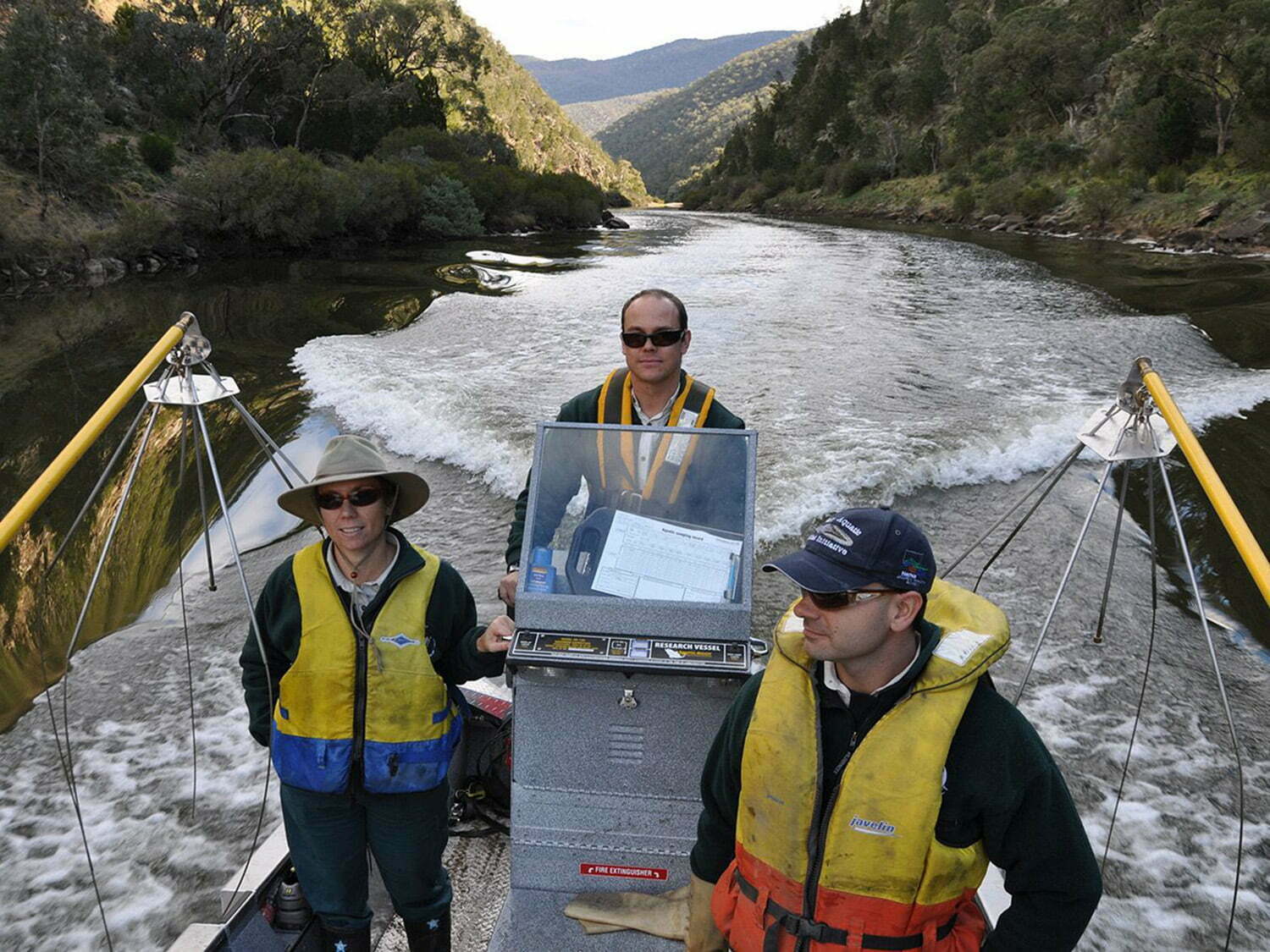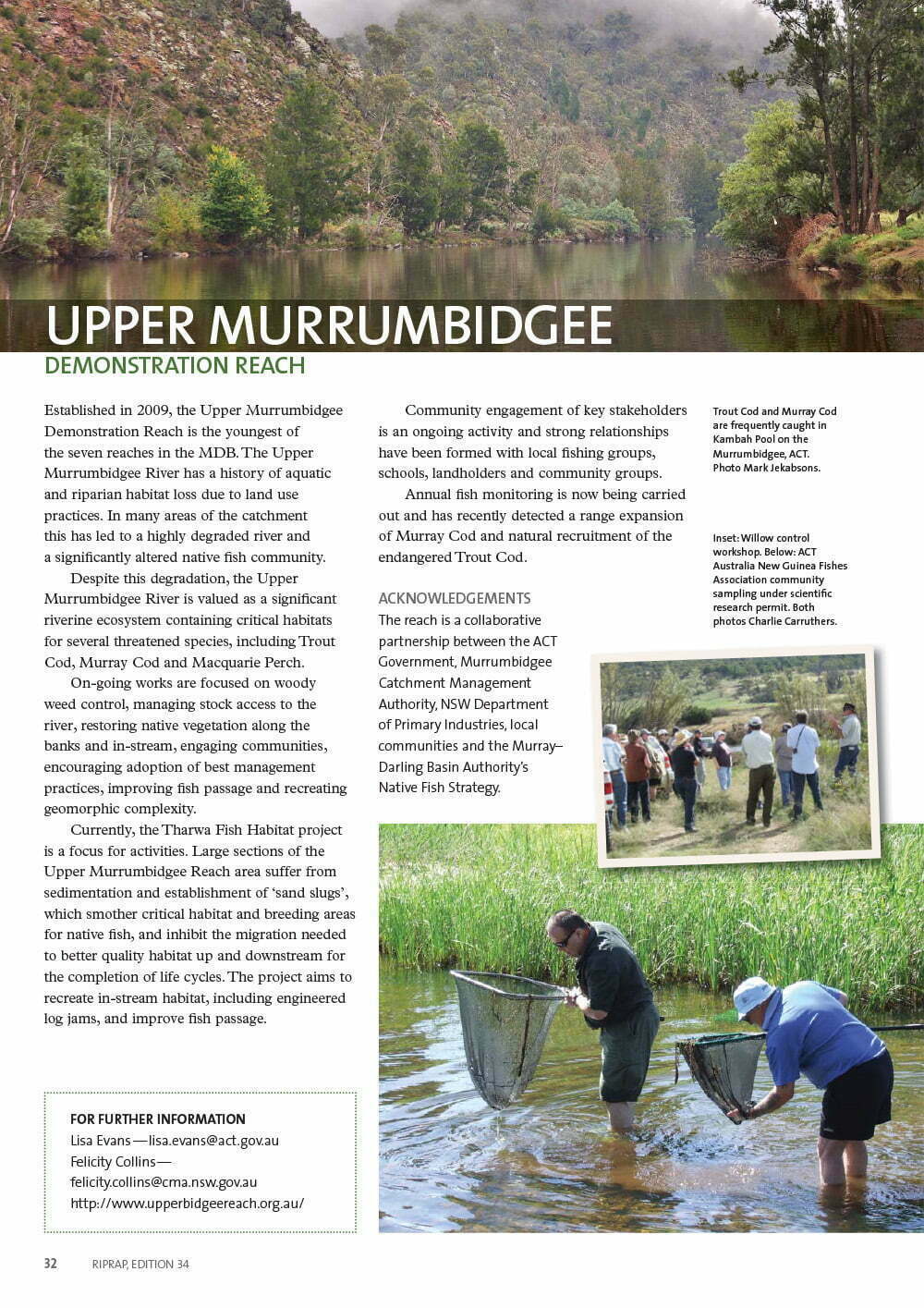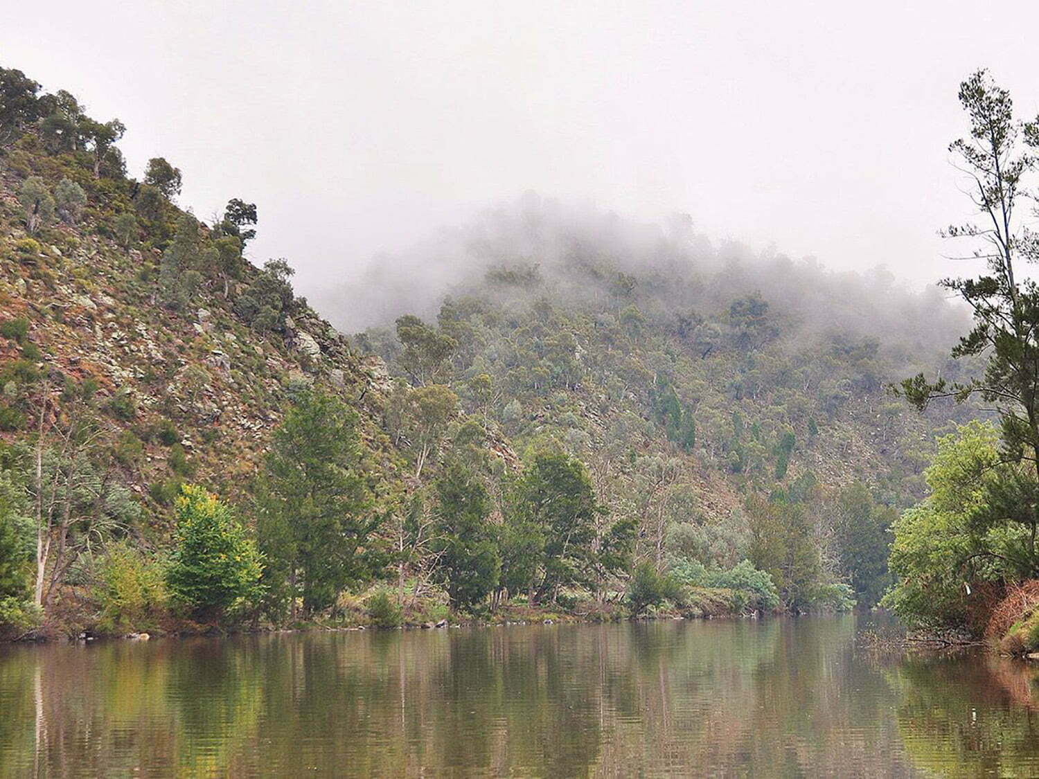
 Established in 2009, the Upper Murrumbidgee Demonstration Reach (UMDR) has steadily been gaining momentum with strong community and multi-partner support. Acknowledging that rivers and fish do not recognise linear boundaries, the UMDR was established to span 100 km over two jurisdictions between Bredbo (NSW) and Casuarina Sands (ACT). The reach is a collaborative partnership between the ACT Government, South-east Local Land Services (formerly the Murrumbidgee Catchment Management Authority), NSW Department of Primary Industries, Bush Heritage, Australian River Restoration Centre, local communities and the Murray Darling Basin Authority, who are working together to address the multiple threats to native fish in a major upland river system.
INFOGRAPHIC: 14 years of recovery through partnership
The Upper Murrumbidgee River is a highly modified catchment and there is a history of aquatic and riparian habitat loss due to land use practices. In many areas of the catchment, this has lead to a highly degraded river and a significantly altered native fish community. Historic clearing of riparian vegetation, invasion by pest plant and fish species, erosion and sedimentation, smothering of in-stream habitat, barriers to fish passage and significant water diversions at Tantangara Dam, have drastically changed hydrology and sediment transport capacity of the reach..
Despite this degradation, the Upper Murrumbidgee River is valued as a significant riverine ecosystem, containing critical habitats for several nationally listed threatened species, including Trout cod, Murray cod and Macquarie perch. The UMDR also contains large tracts of intact riparian vegetation, primarily located throughout the spectacular bedrock confined gorges (see photos below). The UMDR also forms part of a larger 400 kilometre stretch of the Upper Murrumbidgee River that is listed on the Register of the National Estate (due to the presence of Trout cod and critical habitat to support the species).
The vision for the UMDR is to create a healthier, more resilient and sustainable river reach and corridor that is appreciated and enjoyed by all communities of the national capital region.
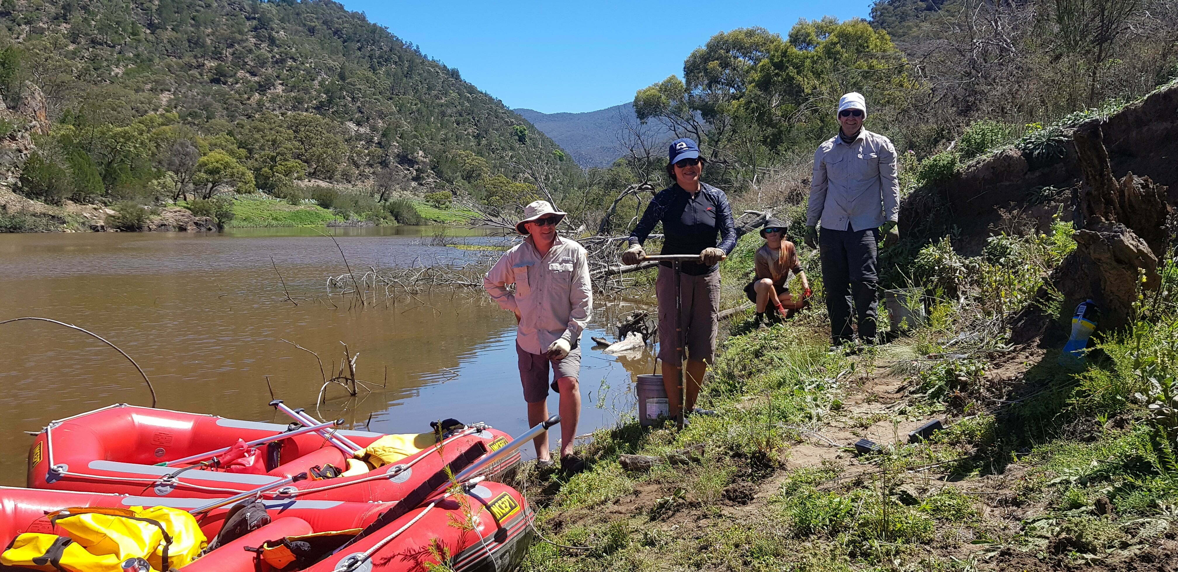
On-going works are focused on woody weed control, managing stock access to the river and restoring native vegetation along the banks and in-stream, engaging communities and encouraging adoption of best management practices, improving fish passage and recreating geomorphic complexity.
The Tharwa Fish Habitat Project is a great example of the type of work being undertaken in the Upper Bidgee. Large sections of the reach suffer from sedimentation and ‘sand slugs’, which smother critical habitat and breeding areas for native fish and inhibits migration to better quality habitat up and downstream, preventing fish from completing their life cycle. The project aims to recreate in-stream habitat and improve fish passage via the construction of Engineered Log Jams and augmentation of previously constructed groynes. If successful, the use of Engineered Log Jams will be able to be more easily applied to other sediment affected rivers.
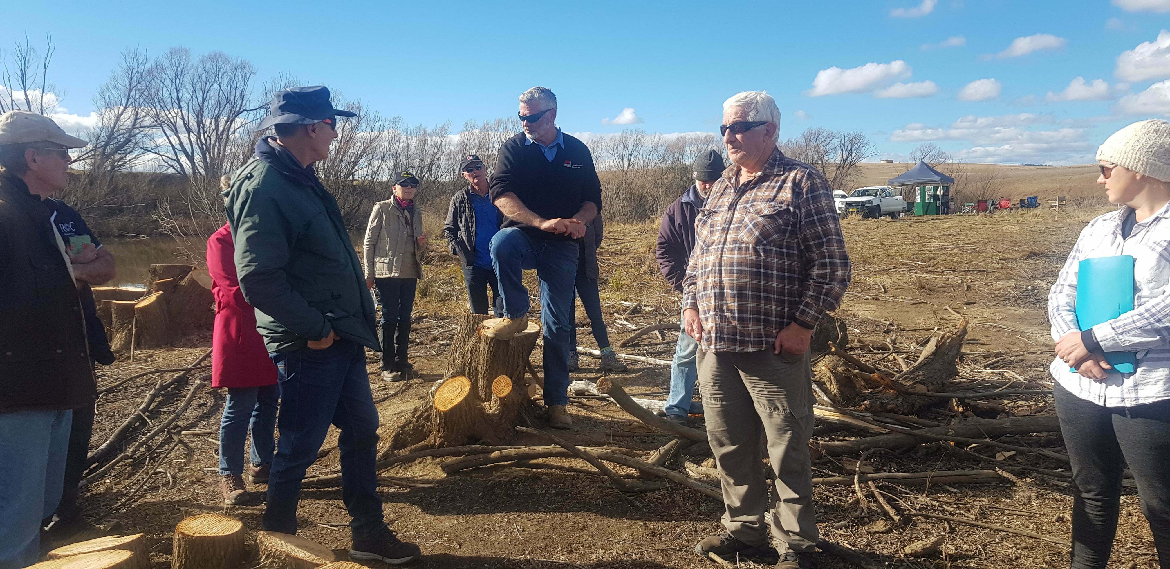
Community engagement with key stakeholder groups is an ongoing activity within the UMDR. Strong relationships have been formed with local fishing groups, schools, landholders and community NRM groups and many field days and demonstrations have been held such as the recent erosion control workshop.
Fish in the UMDR are monitored through the reach at least on a biannual basis and recently annually. Recent monitoring has detected a range expansion of Murray cod and natural recruitment of the endangered Trout cod. Fish will also be monitored in the vicinity of the Engineered Log Jam project before and several years after the installation to determine whether the structures have a beneficial effect on the fish population. Community monitoring activities including Waterwatch and riparian condition will also be carried out as part of the Tharwa Fish Habitat Project.
One of the most exciting projects being run by the UMDR is Adventure Volunteering, where people are trained in how to manage weeds and undertake fish surveys from rafts and canoes. This will continue into 2020 and beyond as it is has proved to be very popular and a great way to get people out on to the river caring for the fish and plants we all value. You can read more about the Adventure Volunteers work in the related stories section below.

