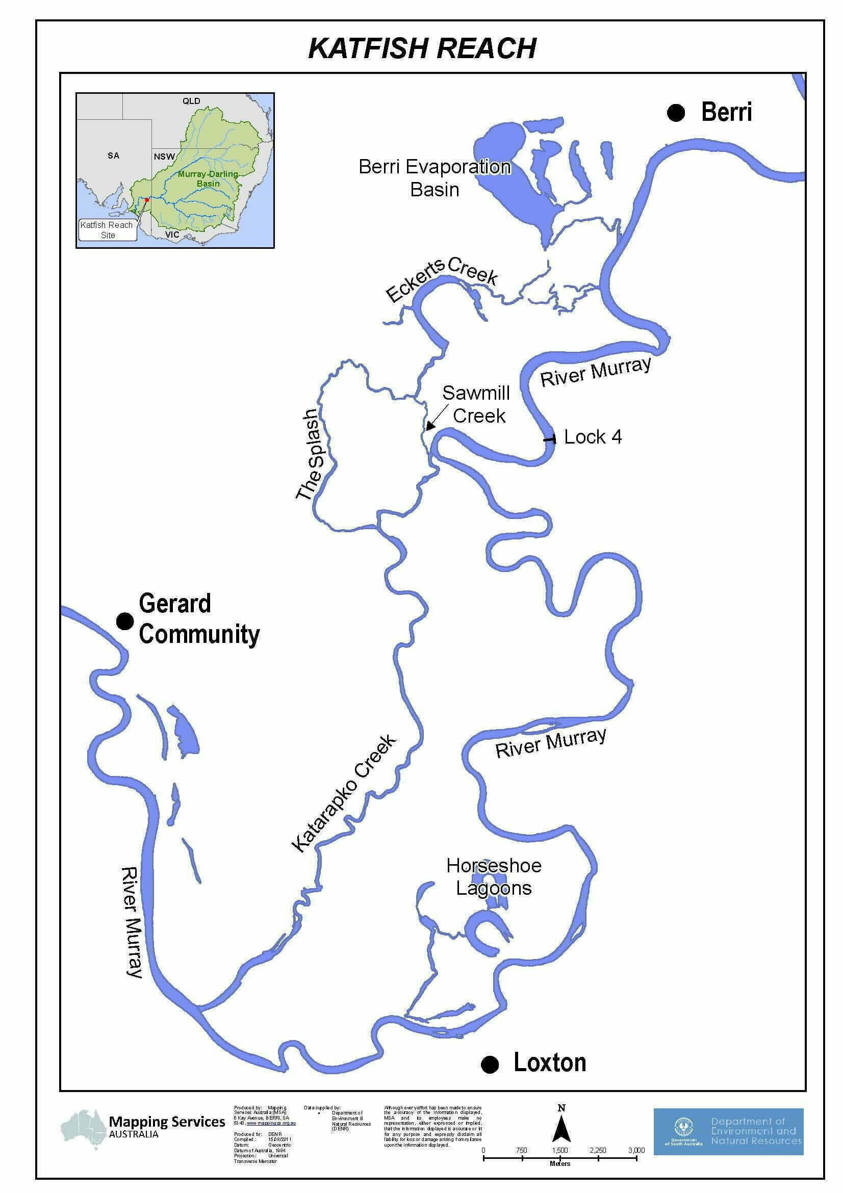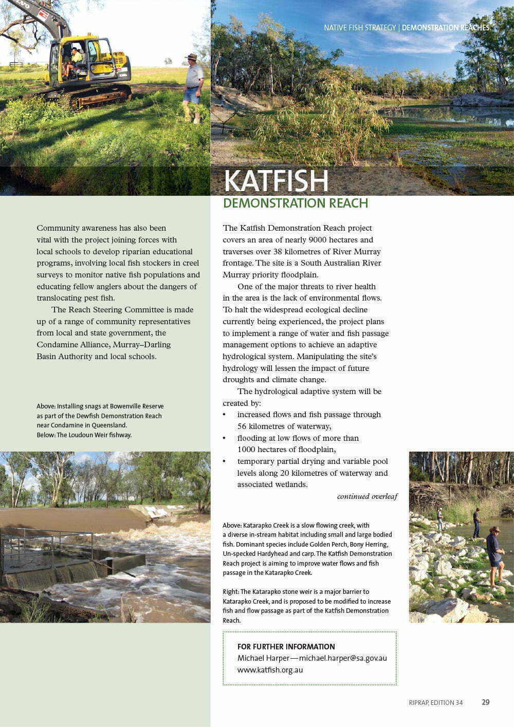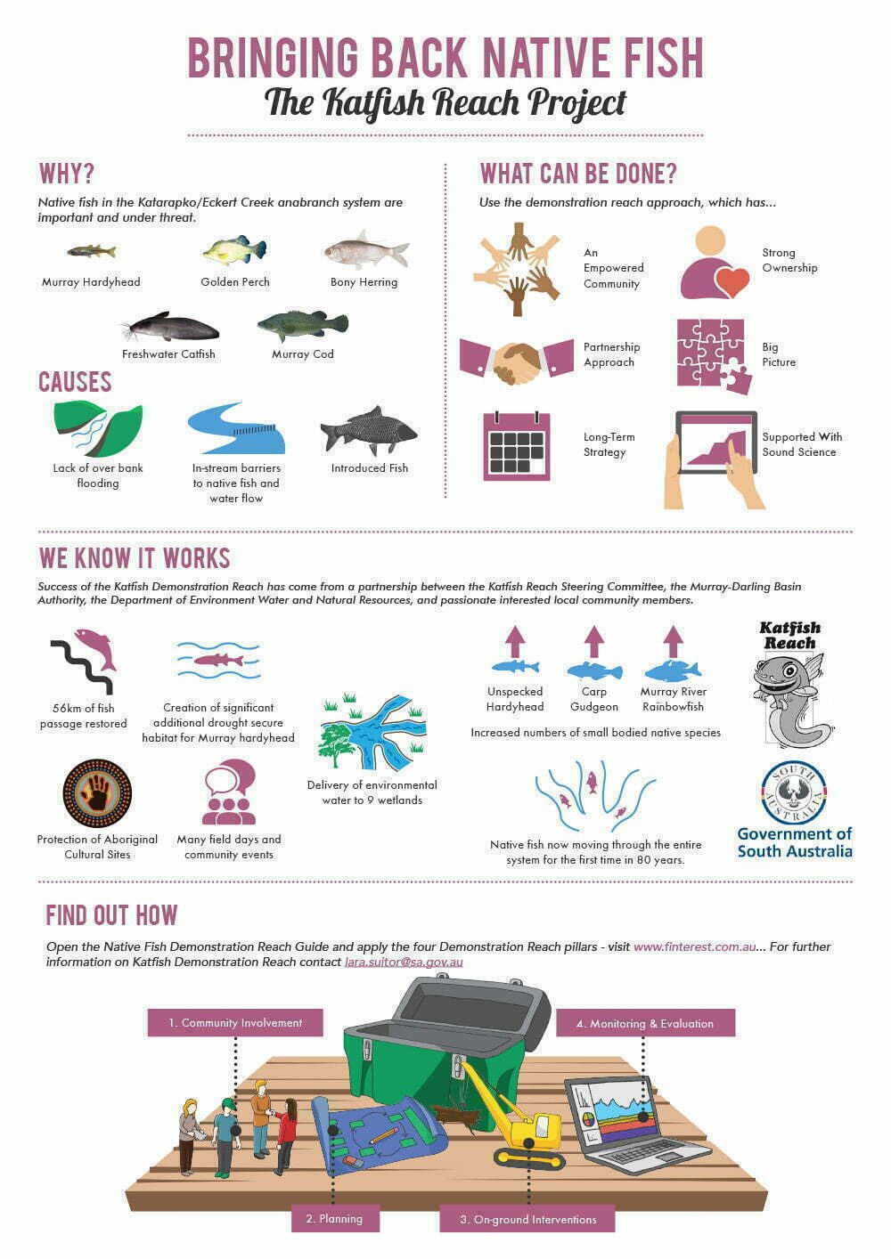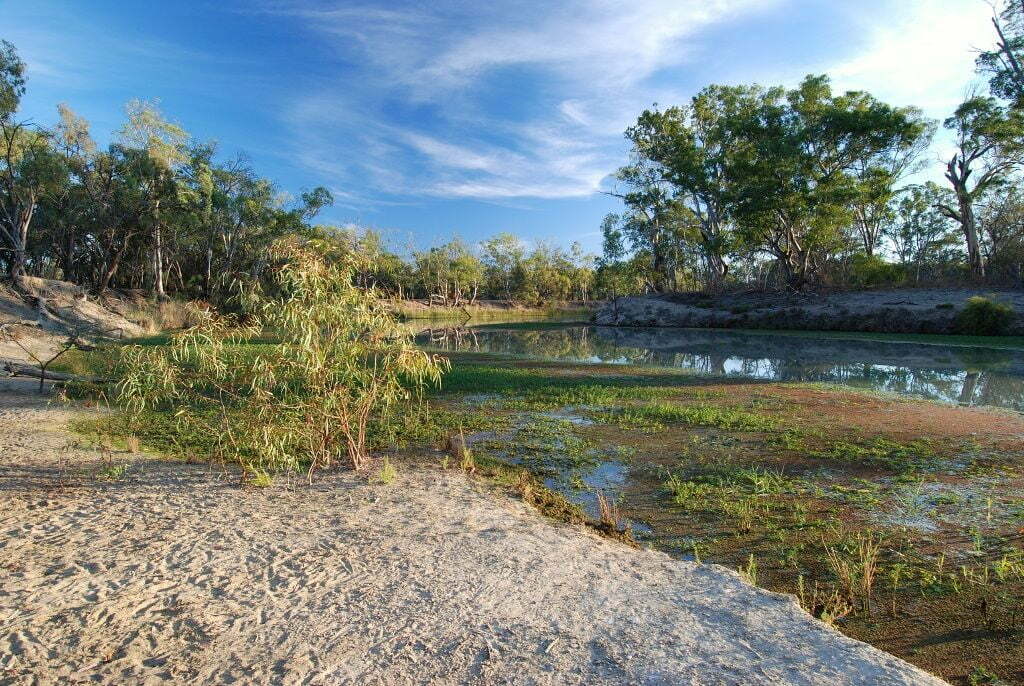
The Katfish Reach Project is located on the Katarapko/Eckert Creek anabranch system between Berri and Loxton along the River Murray in South Australia (Figure 1). The area hosts the River Murray National Park, Katarapko, Gerard Aboriginal Reserve as well as crown and private land. The total area is nearly 9,000 hectares, and traverses over 38 kilometres of River Murray frontage. The site is a South Australian River Murray priority floodplain. A number of actions have been proposed to curb the rapid and widespread ecological decline currently being experienced throughout the Katfish Reach floodplain. This includes the implementation of hydrological and fish passage management options, to achieve an adaptive hydrological system.
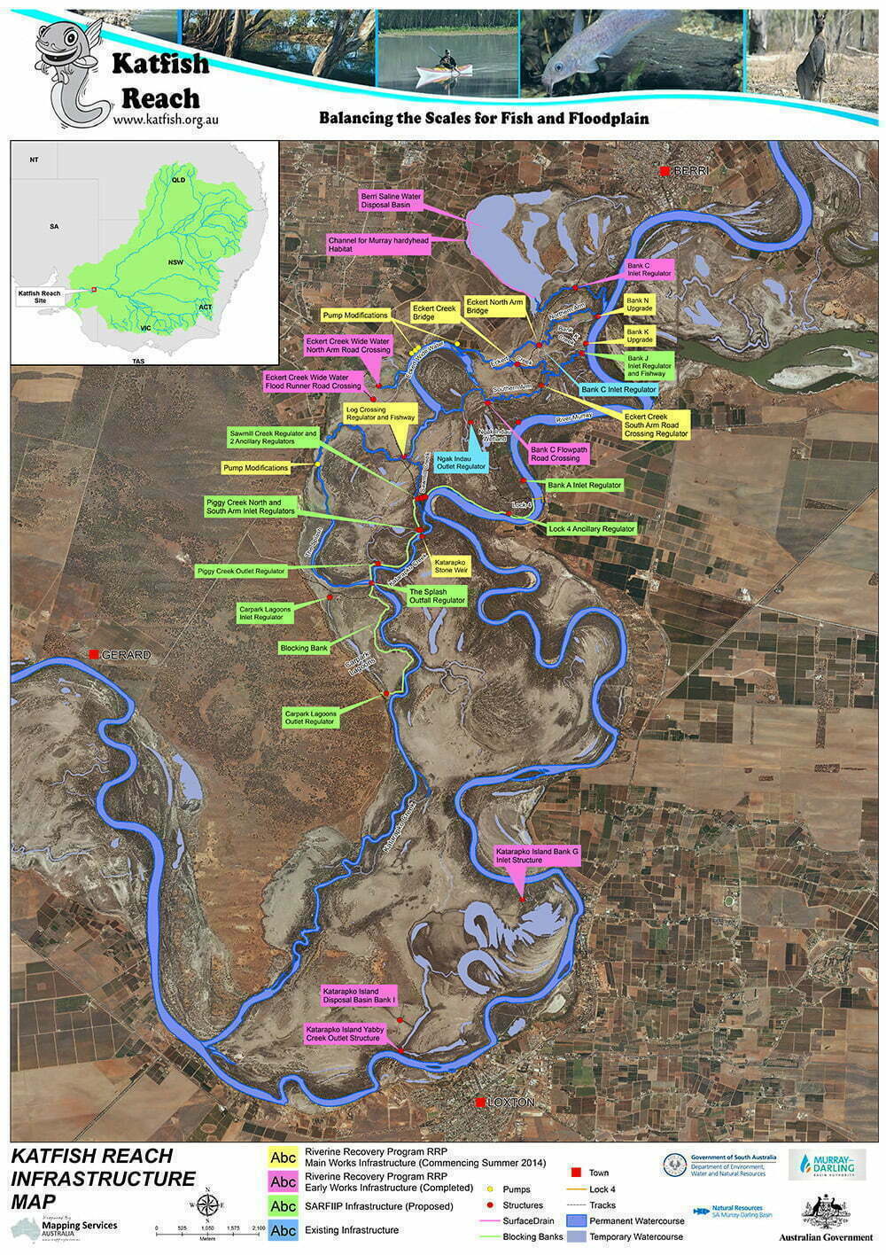
Figure 2 shows projects underway at Katfish Reach through the South Australian Riverland Integrated Investment Program which is a $155 million investment over 7 years for the project area. This is Stage 2 of the Katfish Reach Implementation Plan. On-ground works to be undertaken on the Katfish Reach Floodplain include a number of major and minor regulators, blocking banks and associated works and measures to enable floodplain inundation creating opportunities for significant local and regional environmental benefits. (See related stories below for more information)
The vision for the Katfish Reach project is: “A healthier and more productive aquatic and floodplain ecosystem that everyone can enjoy”.
An Implementation Plan for the site has been developed in consultation with the Katfish Reach Steering Group which identifies 17 key threats across nine project site assets. The major threats are caused by past and current River Murray management and drought. However, one threat in particular, the lack of environmental flows has been identified as a threat of significant importance across the site.
A number of actions have been proposed to curb the rapid and widespread ecological decline currently being experienced throughout the Katfish Reach floodplain. This includes the implementation of hydrological and fish passage management options, to achieve an adaptive hydrological system. With the ability to manipulate the site’s hydrology, the ecological integrity of the site will hopefully be maintained during future droughts, as well as the impacts of climate change.
The hydrological adaptive system will be created by:
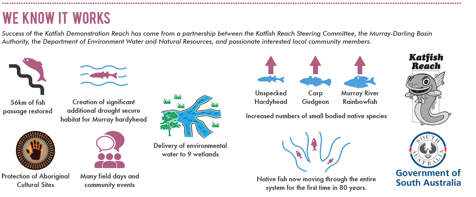
- increased flows and fish passage through 56 kilometres of waterway;
- flooding at low flows of over 1000 hectares of floodplain;
- temporary partial dry and vary pool level of 20 kilometres of waterway and associated wetlands.
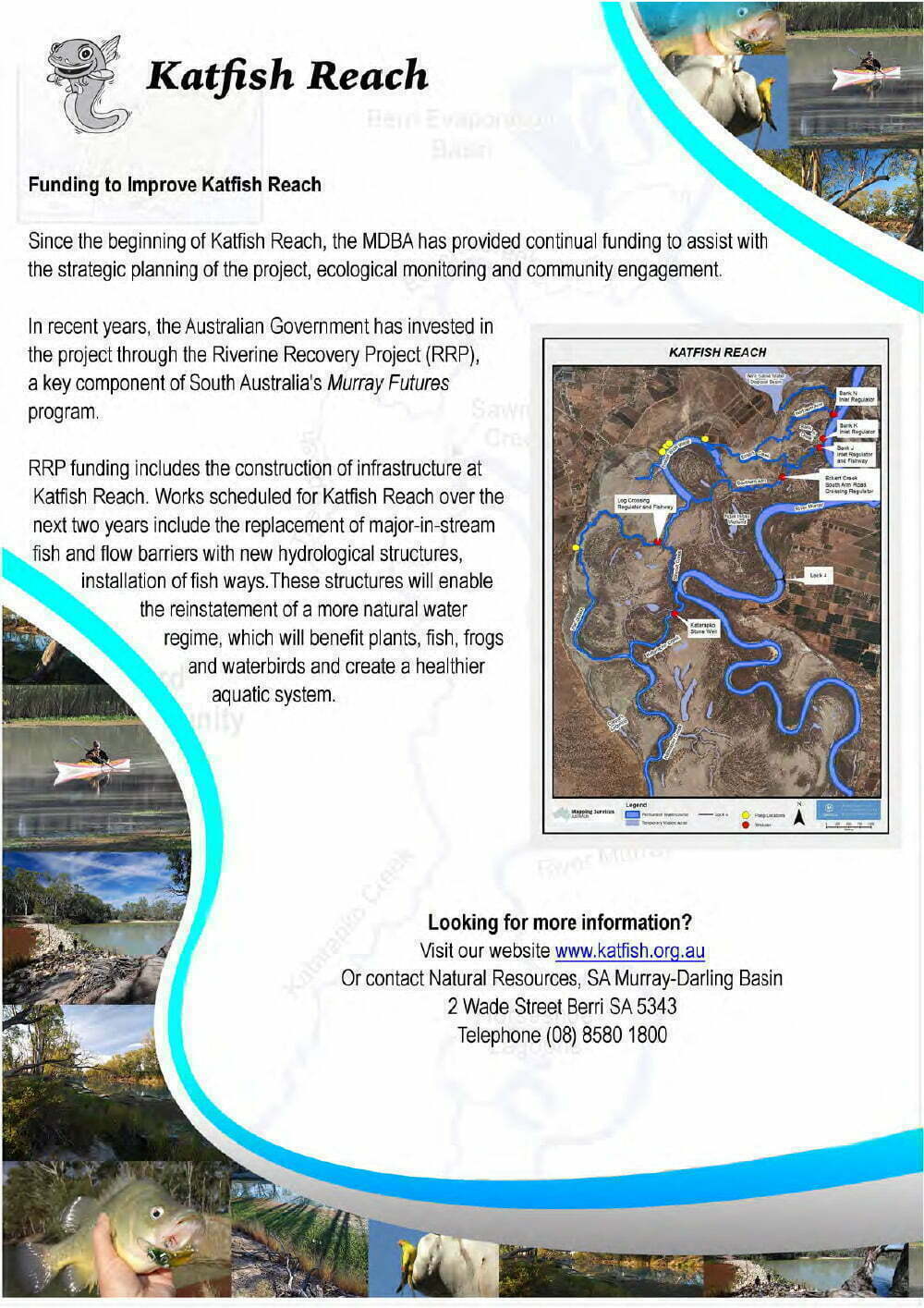
Funding of $8m through the Murray Futures Riverine Recovery Project has been secured to implement stage 1 of the Katfish Reach Implementation Plan. The Riverine Recovery funding will enable the following actions to be undertaken over the next three years:
- Six major in-stream barriers to be replaced to improve flow management and fish passage through the Katarapko/Eckert creeks anabranch system (Figure 1);
- Development of an integrated hydrological operational plan;
- Implementation of the non fish component of the monitoring framework;
- Secure the present Murray hardyhead population at the Berri Saline Water Disposal Basin;
- Restore the Katarapko Island Saline Water Disposal Basin.
